I’m going to admit now.
There is no way to describe El Paso in a single blog but I’ll try my best.
With close to one million residents, El Paso is the biggest city on the Texas side of the border.
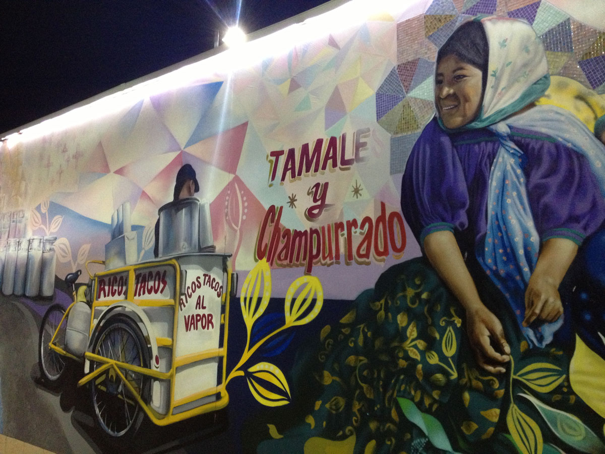
Mural at the Stanton Street Bridge in downtown El Paso. (Sergio Chapa/Borderzine.com)
But it’s also filled with many contrasts making it one of the most complex and intriguing.
The border city is home to four international bridges and one international railroad crossing.
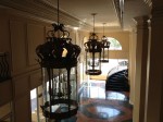
Lupita and I stayed in the historic Camino Real Hotel in downtown El Paso where we set up our base to explore this exciting region.
Ysleta
On the eastern edge of town is a region known as Ysleta and Zaragoza.
The area is home to the Ysleta International Bridge and the Tigua Indian Reservation.
It’s not an Indian reservation in the traditional sense like those people think about in Arizona or New Mexico.
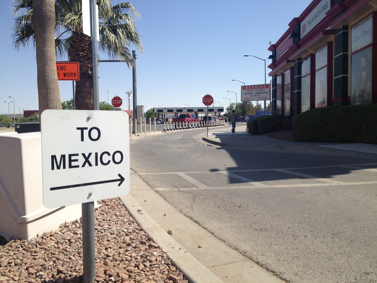
The Ysleta International Bridge. (Sergio Chapa/Borderzine.com)
It seemed like any other neighborhood in the city but included a small, gated community.
Lupita and I visited the Indian reservation’s cultural center where we watched young people dance and sing in the Tigua language.
We were fascinated watching them dance to rhythms of the drums.
Just down the street was the Speaking Rock Casino.
Lupita and I thought it was a sign since in the Big Bend and Terlingua we lived the experience of how the “rocks cry out.”
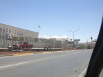
Just to the south of the Indian reservation is the Yselta International Bridge, which connects that part of El Paso to the sprawling eastern end of Ciudad Juarez, Chihuahua.
Just across the bridge is a water park on the Mexican side.
It seemed such a decadent destination during 100 degree weather in the summer in the desert.
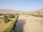
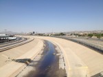
The canals lining the Rio Grande had water but there was only a trickle in the river itself.
Bridge of the Americas
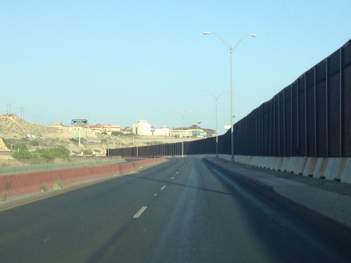
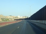
The border highway just west of downtown El Paso. (Sergio Chapa/Borderzine.com)
One of the engineering marvels of El Paso is the Border Highway, a multi-lane roadway that straddles the Rio Grande River and hugs the international border.
The busy highway links the Ysleta International Bridge to the Cordoba International Bridge just the west.
The Cordoba Bridge, which is also known as the Bridge of the Americas, is one of the busiest.
Other than Falcon Dam or Amistad Dam, it’s the only free bridge in Texas.
The area is also known as Chamizal for a park by the same name on both sides of the border.
Ciudad Juarez
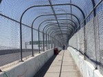
Lupita and I walked across the Bridge of the Americas and in to Ciudad Juarez.
We were saddened to see no water in the Rio Grande River but there was also a surprise.
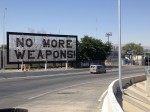
Arriving to the Mexican side, we saw former Mexican President Felipe Calderon’s “No More Weapons” sign.
Calderon placed the sign there at a time when Ciudad Juarez had a record number of drug-related murders asking the United States to end weapons trafficking to Mexico.
Lupita and I met a journalist friend for breakfast and coffee.
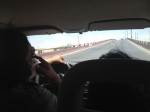
He gave us a tour of Ciudad Juarez driving around several parts of the city.
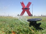
We saw the “Monumento X” a large red monument in the shape of the letter X.
Driving through immaculate shopping centers, everything seemed normal.
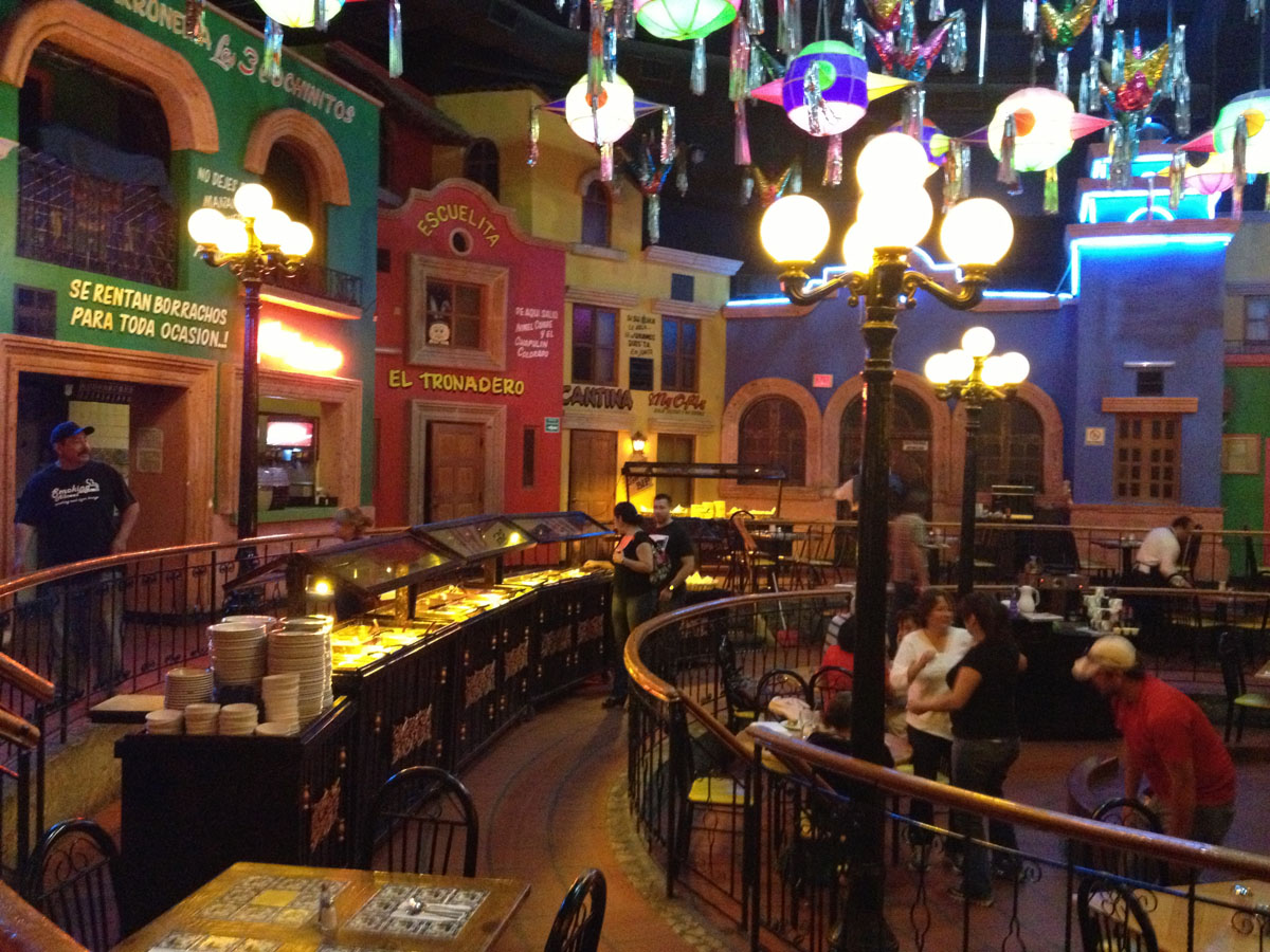
Breakfast in Ciudad Juarez. (Sergio Chapa/Borderzine.com)
Everyone seemed to be going about their daily business but one thing we noticed is that the shops were all Mexican and American chain stores.
There seemed to be a noticeable absence of locally-owned businesses in these shopping centers.
We drove past the American Consulate in Ciudad Juarez, which is one of the busiest along the border because marriage visas are processed there.
It was a massive, gated compound with lots of security. All of it the result of the drug-related violence that plagues the city.
We zipped in and out of traffic and made it back to the Bridge of the Americas.
Lupita and I took a stroll through the pine trees and green grass of Parque El Chamizal before crossing back to the American side of the border.
Downtown El Paso
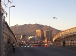
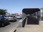
There is a high concentration of border crossings in downtown El Paso.
In addition to the Stanton Street Bridge and Paseo del Norte Bridge, there is also an international railroad crossing.
Lupita and I crossed back into Ciudad Juarez at the Paseo del Norte Bridge.
It’s what most people consider the “main bridge” between the two border cities.
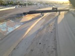
Walking across the bridge, we snapped photos of the dry concrete channel that was supposed to contain the Rio Grande River.
“Nos robaron el agua,” said one street vendor. “The gringos stole the water.”
It was a shock for Lupita and I because the Rio Grande was a constant companion along our trip.
After seeing the river in different colors, flows, level and clarity, it was heartbreaking.
Strolling through downtown Ciudad Juarez wasn’t very pleasant.
A lot of businesses were closed and a number of buildings were for rent or sale.
There seemed to be a large number indigent people and at times it seemed like all their eyes were on us.
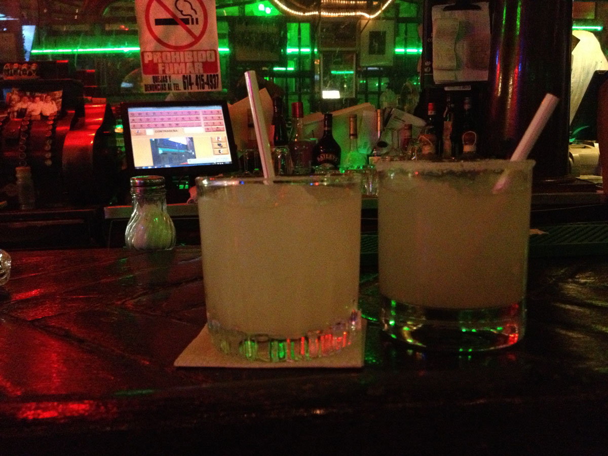
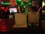
Fun Fact: The margarita was invented at the Kentucky Club in Ciudad Juarez. (Sergio Chapa/Borderzine.com)
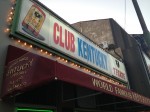
We did make it to the Kentucky Club, a popular watering hole founded during Prohibition in the 1920s.
The bar is home to the margarita, which was invented there in 1921.
After a couple of drinks, Lupita and I returned back to El Paso.
We snapped pictures of the murals of the Stanton Street Bridge.
Lupita and I met up with a friend where he had dinner and then went out in the downtown bar district.
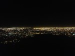
We ended the night with a ride along Scenic Drive where an overlook gave a view of the city lights from both El Paso and Ciudad Juarez.
It was a beautiful sight and a fantastic trip across the border.
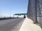
- Bridge of the Americas. (Sergio Chapa/Borderzine.com)
- El Monumento X in Ciudad Juarez. (Sergio Chapa/Borderzine.com)
- Former Mexican President Felipe Calderon placed a “No More Weapons” sign at the foot of the Bridge of the Americas. (Sergio Chapa/Borderzine.com)
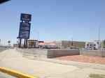
- Big business is thriving in Ciudad Juarez. (Sergio Chapa/Borderzine.com)
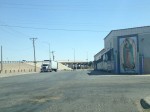
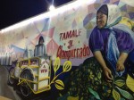
- A mural to the Virgen de Guadalupe in downtown El Paso. (Sergio Chapa/Borderzine.com)
- Mural at the Stanton Street Bridge in downtown El Paso. (Sergio Chapa/Borderzine.com)
- The Kentucky Club was once a very popular watering hole for tourists. (Sergio Chapa/Borderzine.com)
- Fun Fact: The margarita was invented at the Kentucky Club in Ciudad Juarez. (Sergio Chapa/Borderzine.com)
- A reminder of home in Ciudad Juarez. (Sergio Chapa/Borderzine.com)
- Not a drop of water in the Rio Grande River in downtown El Paso. (Sergio Chapa/Borderzine.com)
- Bridge of the Americas. (Sergio Chapa/Borderzine.com)
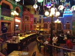
- Glass dome inside the Camino Real Hotel. (Sergio Chapa/Borderzine.com)
- Endless lights as seen from scenic drive in El Paso. (Sergio Chapa/Borderzine.com)
- Duty-free store at the Ysleta International Bridge. (Sergio Chapa/Borderzine.com)
- Breakfast in Ciudad Juarez. (Sergio Chapa/Borderzine.com)
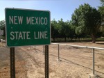
- The New Mexico state line. (Sergio Chapa/Borderzine.com)
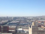
- The sprawling border cities of El Paso and Ciudad Juarez. (Sergio Chapa/Borderzine.com)
- Graffiti is common in Ciudad Juarez. (Sergio Chapa/Borderzine.com)
- Mural at the Stanton Street Bridge in downtown El Paso. (Sergio Chapa/Borderzine.com)
- Inside the Paseo del Norte Hotel. (Sergio Chapa/Borderzine.com)
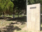
- El Chamizal Park in Ciudad Juarez. (Sergio Chapa/Borderzine.com)
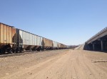
- The El Paso rail yards. (Sergio Chapa/Borderzine.com)
- The Ysleta International Bridge. (Sergio Chapa/Borderzine.com)
- Only a puddle in the Rio Grande River between Texas and New Mexico. (Sergio Chapa/Borderzine.com)
- The American Consulate in Ciudad Juarez is like a military compound. (Sergio Chapa/Borderzine.com)
- The border highway just west of downtown El Paso. (Sergio Chapa/Borderzine.com)
- A view of downtown El Paso from the Paseo del Norte International Bridge. (Sergio Chapa/Borderzine.com)
- Only a trickle of water at the Bridge of the Americas. (Sergio Chapa/Borderzine.com)
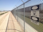
- A canal and the border fence at the Ysleta International Bridge. (Sergio Chapa/Borderzine.com)
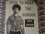
- Here to make the border safe again. (Sergio Chapa/Borderzine.com)
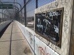
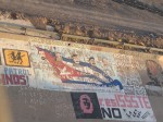
- Graffiti along the Rio Grande River. (Sergio Chapa/Borderzine.com)
- Driving around Ciudad Jarez. (Sergio Chapa/Borderzine.com)
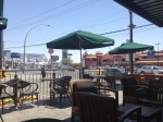
- Starbucks has conqured Ciudad Juarez. (Sergio Chapa/Borderzine.com)
- The Cordova International Bridge is known as the Bridge of the Americas. (Sergio Chapa/Borderzine.com)
- Heavy traffic at the Bridge of the Americas. (Sergio Chapa/Borderzine.com)


