This is the only stretch of our trip where we did not cross the border.
There are some 250 miles separating the Amistad Dam International Border Crossing from the one border crossing inside Big Bend National Park.
Our journey continued into a changing landscape, one that was becoming more arid but we did get to see a brief summer thunderstorm and a rainbow.

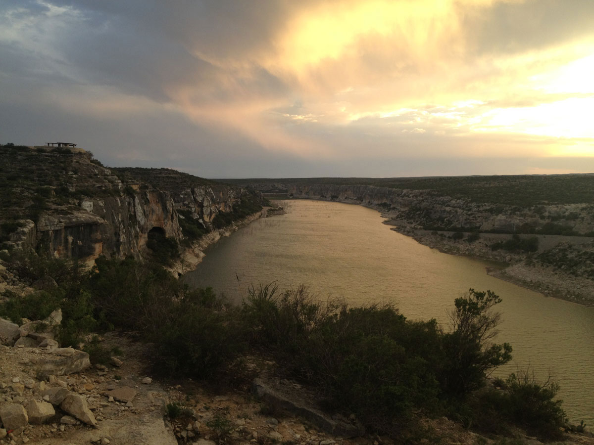
The Pecos River empties into the Rio Grande River. (Sergio Chapa/Borderzine.com)
Lupita and I took it as a sign of good fortune on our trip.
Despite the brief rain show, the drive along U.S. Highway 90 was one into the Chihuahuan Desert, a drive into the Great American West.
The Pecos River
The Pecos River overlook is just a few miles west of our last our pit stop at Seminole Canyon State Park.
The impressive steel, concrete and asphalt bridge spanned the massive river gorge with sun-weathered cliffs.
For generations, many viewed “West of the Pecos” as the beginning of the Wild West of 19th Century American history.
Lupita and I were fortunate enough to see the sun set at the Pecos River on our return trip to the Rio Grande Valley.
We looked to the south and saw where the Pecos River flows into the Rio Grande River.
It was bathed in a golden light.
With strong hues of orange and red, the clouds looked like they were on fire.
Sanderson
Driving down a straight road that cut through the high desert, our next stop was an hour away in Sanderson.
Just shy of 1,000 people, Sanderson is the county seat of Terrell County.
The remote ranching and farming town seemed like a good place to stop for gas.

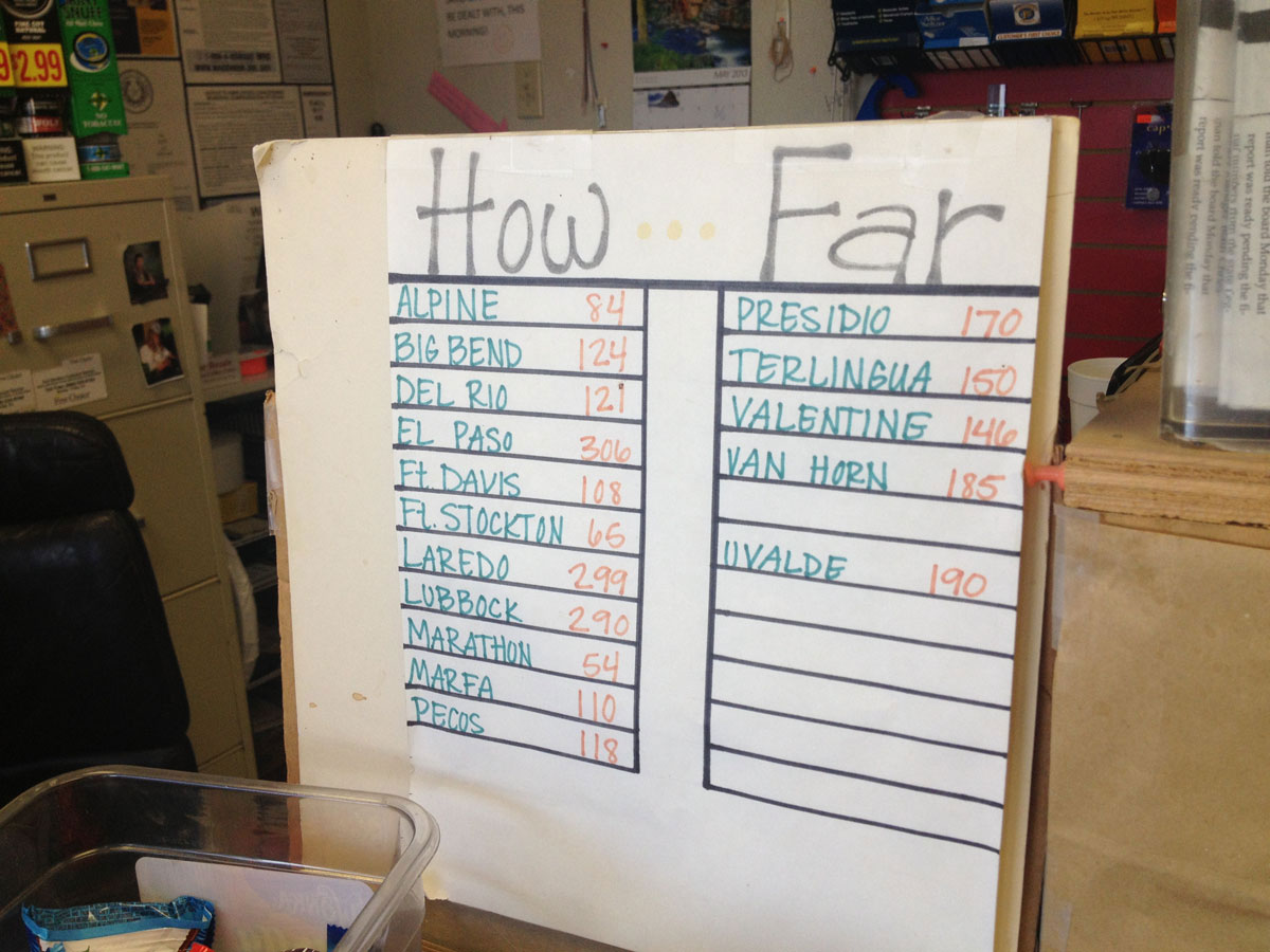
A handy and informative sign at a gas station in Sanderson. (Sergio Chapa/Borderzine.com)
We’re glad we did because we got a kick out of a sign next to the cash register that showed how far other Texas towns were from Sanderson.
Several cities were hundreds of miles away. It was one of those moments where we realized just how big the Lone Star State is.
We took a quick tour through town to see families enjoying the local park, classic cars and 19th century buildings.
On our way out of town, we made a pit stop at the local Border Patrol station, which seemed much smaller than others we had seen.
Marathon
The next town after Sanderson is 54 miles to the west.
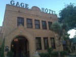
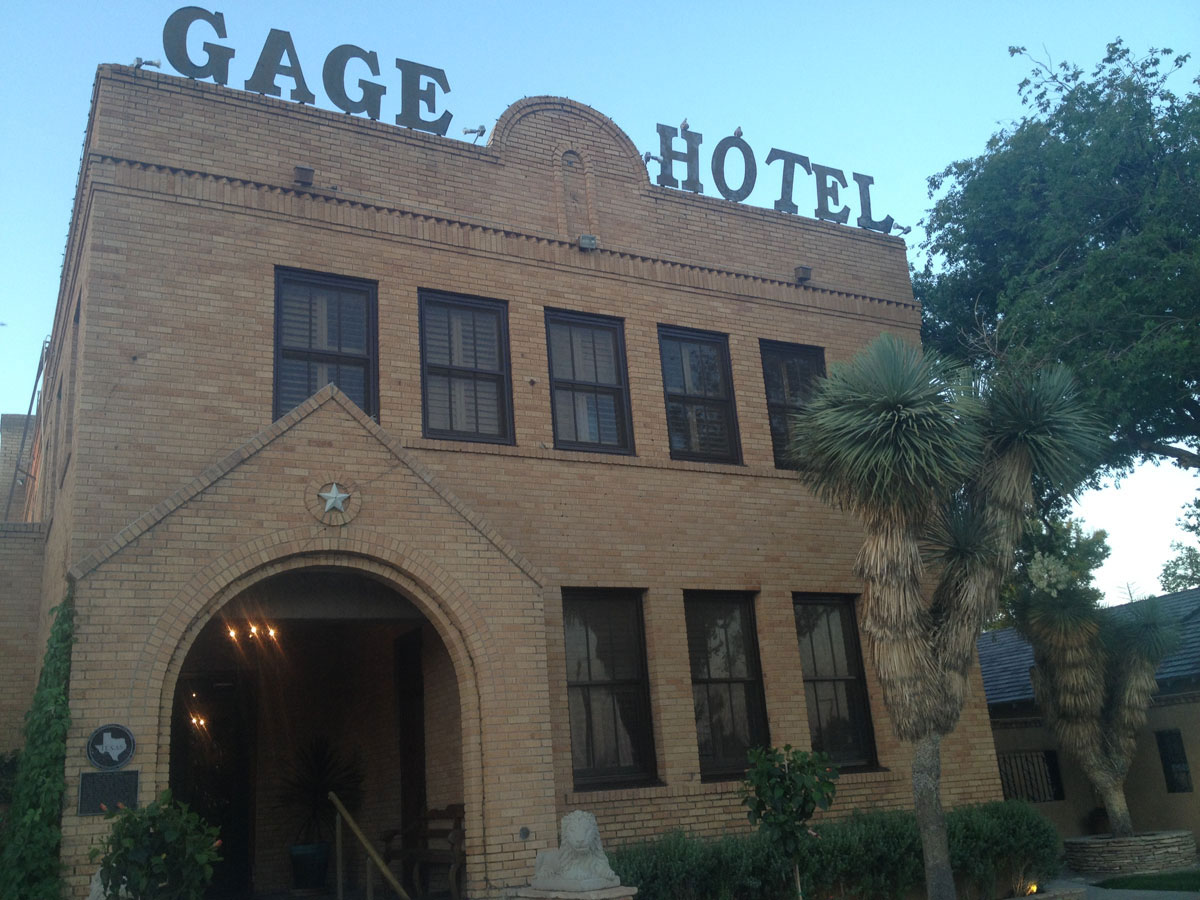
Founded in 1882, Marathon is a charming town known for its high-end restaurants in the high desert.
The town, which is also known as the Gateway to the Big Bend, actually declined in population in the 2010 Census to 430 people.

A fountain at the historic Gage Hotel in Marathon. (Sergio Chapa/Borderzine.com)
We stopped at the historic Gage Hotel right off Highway 90.
Built in 1927, the $200 a night hotel is an oasis in the desert.
It was a too pricey one for Lupita and I, but we did take a tour of the rustic Texas and southwest furniture.
We fell in love with the turquoise blue swimming pool and the fountain that fed it.
Walking around town, we were impressed by the gourmet restaurants and high-end grocery store with an excellent selection of wine.
We got a laugh of how we could buy a gluten-free pizza in the high desert.
Lupita and I made a vow to return to Marathon to run in the Marathon 2 Marathon.
The 26.2-mile race is held every October. Maybe, if we save enough money, we can stay in the Gage Hotel.
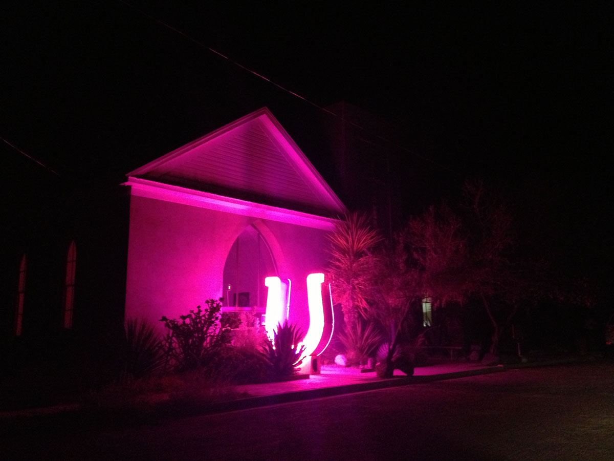
Marfa Lights
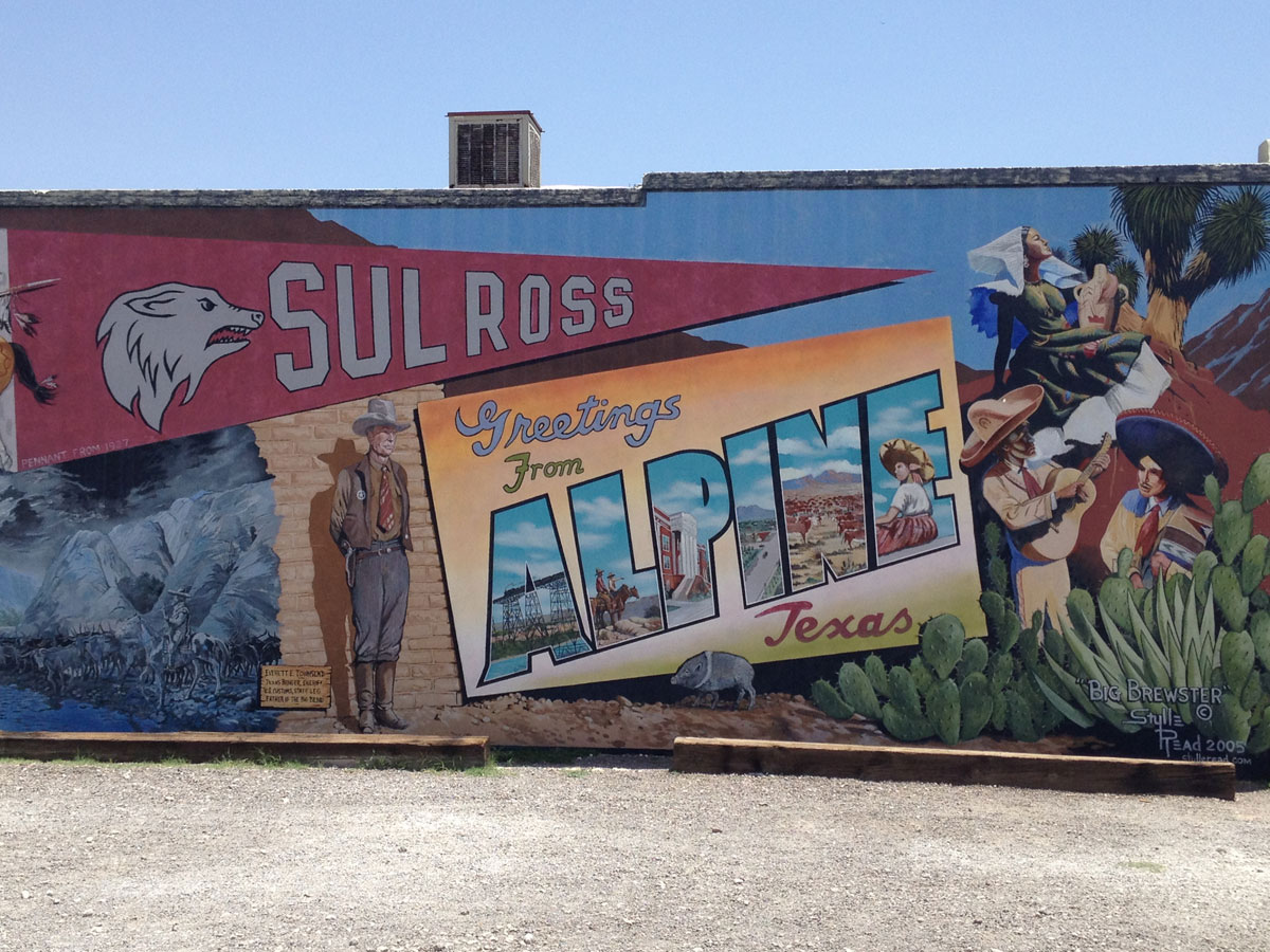
The sun set after we left Marathon but we drove 30 miles making it to Alpine just after dark.
There wasn’t much open at that time of night, so we stopped at a Subway.
We found a $55 a night hotel with a bar but we eagerly threw our stuff in the room and drove west in the darkness to Marfa.
The funky West Texas town is a haven for artists, punks, hipsters and even Hollywood personalities.
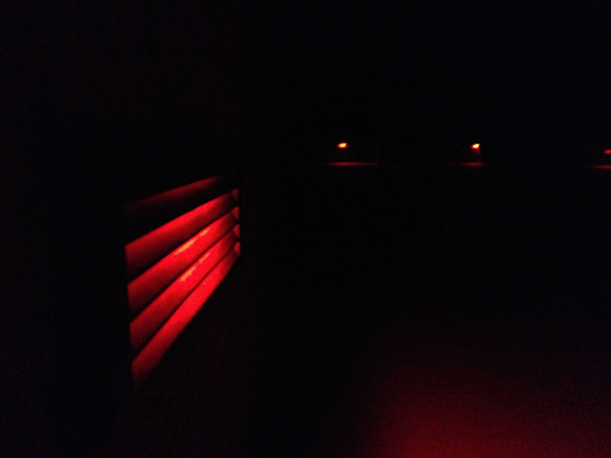
Lupita and I stopped at the Marfa Lights Scenic Overlook.
The Marfa Lights have been documented for centuries.
Nobody can explain what they are but we saw them for ourselves.

Platform at the Marfa Lights Scenic Overlook. (Sergio Chapa/Borderzine.com)
We watched at orbs of light rose from the ground, pulsated and moved up and around.
Impressed by what we saw, we hurried to make it for last call at the bars in Marfa.
All the bars stop serving alcohol at midnight and we made it in time.
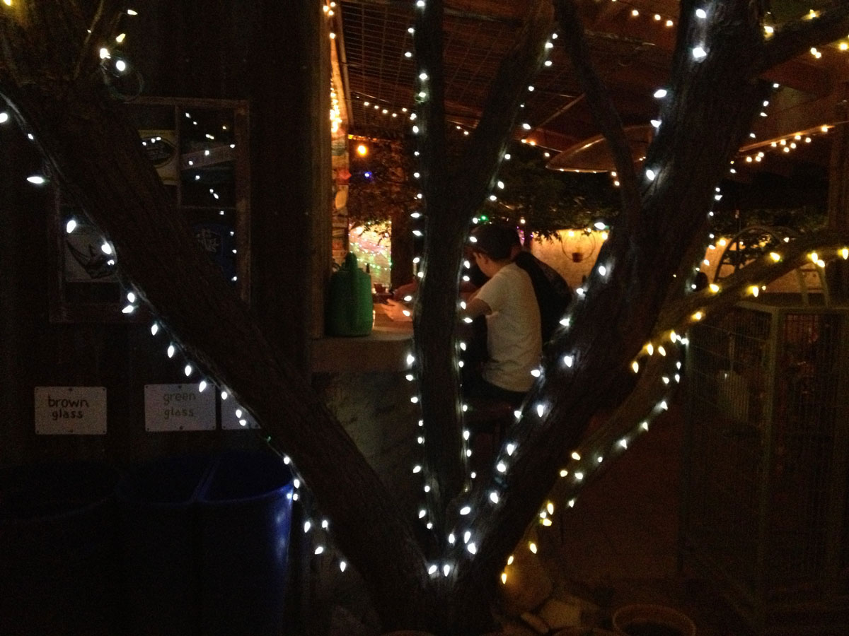
We made it to the legendary Planet Marfa, a high desert watering hole adorned with year-round Christmas lights, a tepee, desert plants and southwest decor.
Taking a quick night-time tour of Marfa, we bounced around between different neon monuments and charming hotels.
We made it back to Alpine with time to hit up the hotel bar for a well-deserved nightcap.
Alpine
Of course, there is no rest for the wicked.
We woke up early because we were supposed to go to the border crossing at Big Bend National Park, some two hours away.

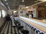
A 1950s style diner in Alpine. (Sergio Chapa/Borderzine.com)
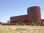
After a big breakfast at a 1950s style diner, we did some quick exploring of Alpine.
Home to Sul Russ State University, a liberal arts college, the immaculate town is neat and orderly with many charming businesses and restaurants.
We would have liked to have stayed longer and maybe even take a side trip to nearby Fort Davis but our trip focused on seeing the border.
The visitor’s center to Big Bend National Park was more than an hour and a half drive away across the mountains and desert.
We point our rental car south and pressed on.
-
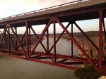
- El puente de la carretera 90 sobre el río Pecos. (Sergio Chapa/Borderzine.com)

-
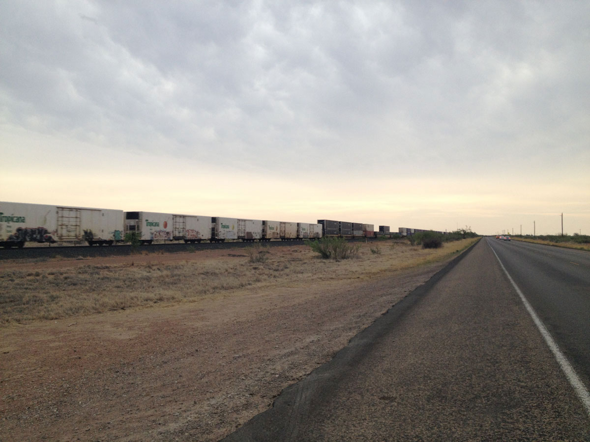
- This train runs parallel to U.S. Highway 90 west of Marfa. (Sergio Chapa/Borderzine.com)
-
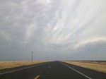
- A thunderstorm brewing in the high desert near Marfa. (Sergio Chapa/Borderzine.com)

-

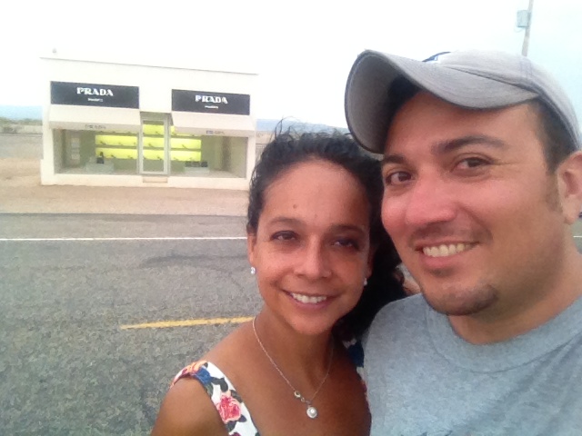
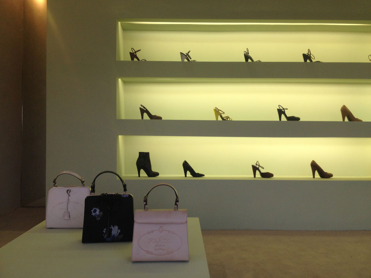
- Outside the Prada Store art exhibit just west of Marfa. (Sergio Chapa/Borderzine.com)
-
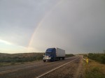
- El arcoíris luego de una tormenta de verano en el desierto cerca a Langtry. (Sergio Chapa/Borderzine.com)

-
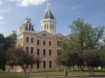
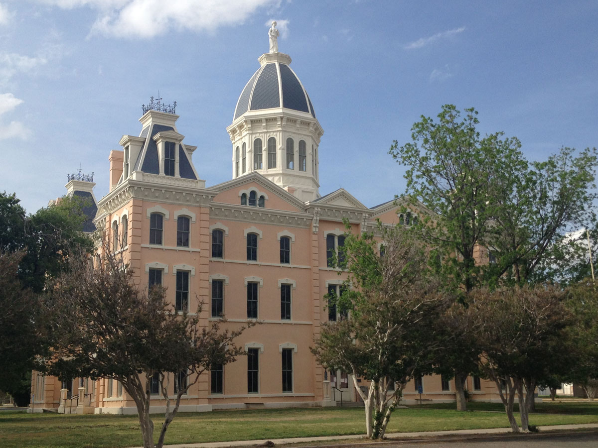
- The Presidio County Courthouse in Marfa. (Sergio Chapa/Borderzine.com)
-

- Prada Store art exhibit in Marfa. (Sergio Chapa/Borderzine.com)
-
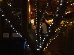
- Enjoying a drink at Planet Marfa. (Sergio Chapa/Borderzine.com)
-

- The Pecos River empties into the Rio Grande River. (Sergio Chapa/Borderzine.com)
-
- A neon sign in downtown Marathon. (Sergio Chapa/Borderzine.com)

-

- Una escultura de neón frente a una casa en Marfa. (Sergio Chapa/Borderzine.com)
-

- Platform at the Marfa Lights Scenic Overlook. (Sergio Chapa/Borderzine.com)
-
- El histórico Gage Hotel en Marathon. (Sergio Chapa/Borderzine.com)
-

- Saludos deade Alpine, Texas. (Sergio Chapa/Borderzine.com)
-

- High winds knocked down this gas station awning near Comstock. (Sergio Chapa/Borderzine.com)
-
- A handy and informative sign at a gas station in Sanderson. (Sergio Chapa/Borderzine.com)
-
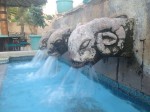
- A fountain at the historic Gage Hotel in Marathon. (Sergio Chapa/Borderzine.com)

-
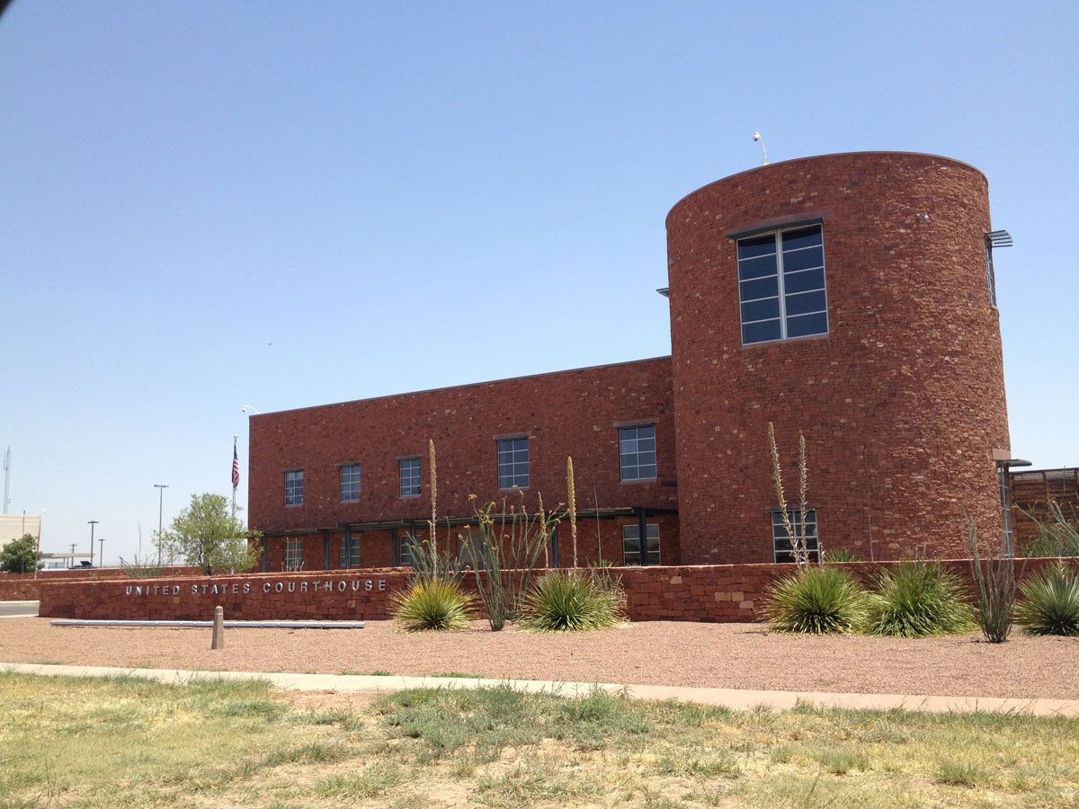
- The U.S. Courthouse in Alpine, Texas. (Sergio Chapa/Borderzine.com)
-
- A classic car outside a building in Sanderson. (Sergio Chapa/Borderzine.com)

-
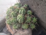
- A cactus in downtown Marathon. (Sergio Chapa/Borderzine.com)

-
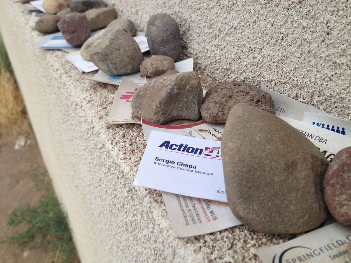
- I left my business card for good luck at the Prada store in Marfa. (Sergio Chapa/Borderzine.com)
-

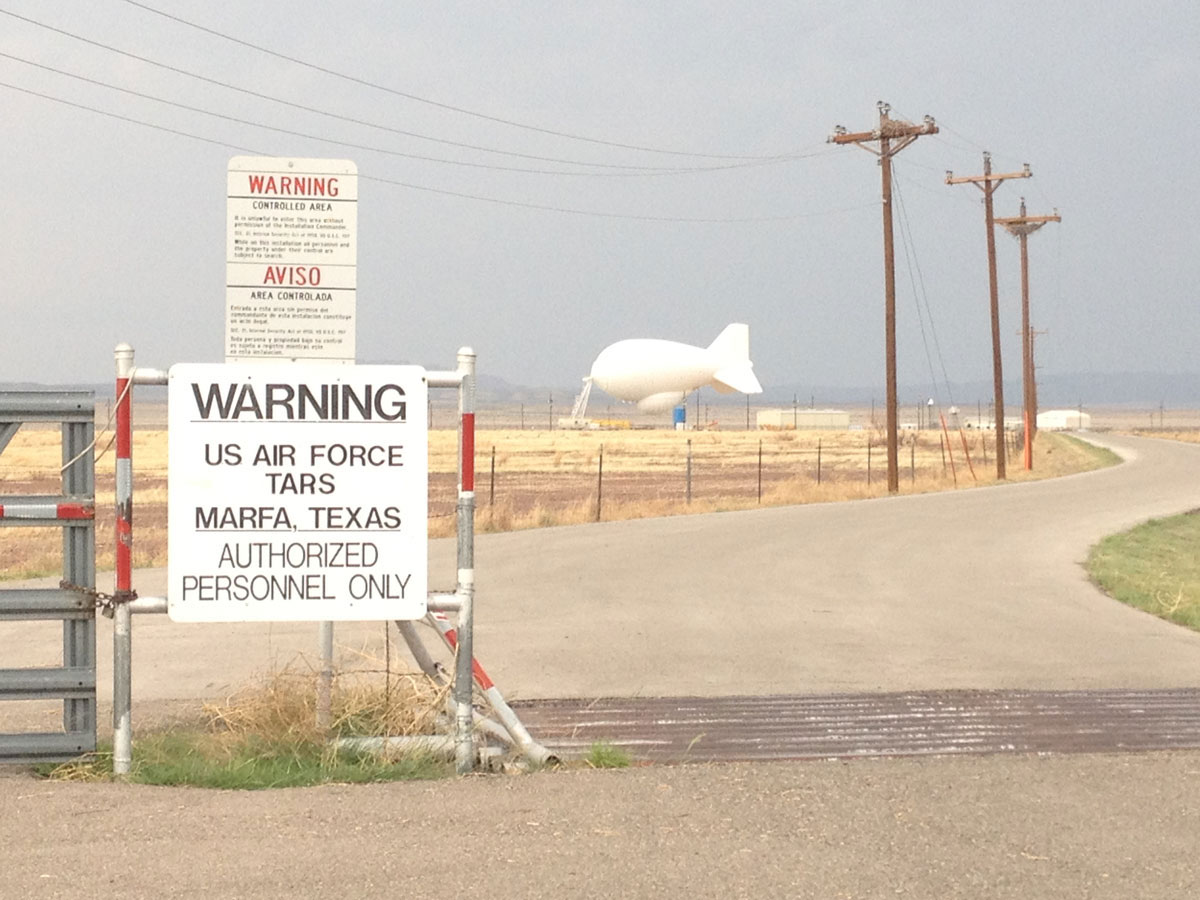
- This blimp is used to for border and drug smuggling surveillance. (Sergio Chapa/Borderzine.com)
-
- A 1950s style diner in Alpine. (Sergio Chapa/Borderzine.com)