

El Cenizo
There is little between Zapata and Laredo other than hills, thorny brush, melon farms, ranches and natural gas wells.
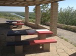
Lupita and I did make a pit stop at a picnic area atop a hill that overlooks the Rio Grande River near the Webb County line.

A picnic area overlooking the Rio Grande River in northern Zapata County, Texas. (Sergio Chapa/Borderzine.com)
Texas flag picnic tables overlook the river under stone and wooden pavilions.
It was a lonely but scenic spot where we saw numerous butterflies swarming around flowering plants that grew on top of the hill.
Following the highway west brings travelers to the twin communities along the Rio Grande River: El Cenizo and Rio Bravo.
The two riverside colonias are among the poorest in the region.
El Cenizo earned fame back in the late 1990s when city leaders decided to hold their meetings in Spanish.
Those leaders have made many improvements to the town but it remains far less developed than its ever-expanding neighbor Laredo.
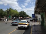
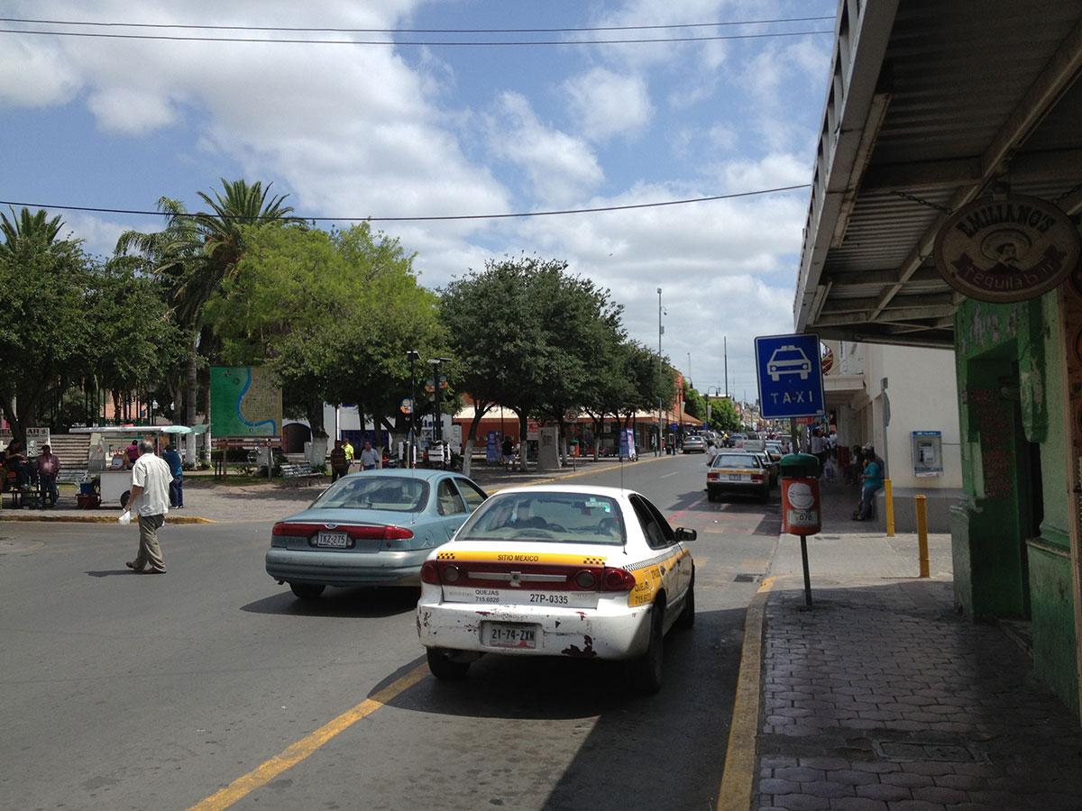
Downtown Laredo

The streets of downtown Laredo, Texas. (Sergio Chapa/Borderzine.com)
Laredo is a legendary border town long embedded in the American consciousness.
The wild-west town was a place of cowboys, outlaws and beautiful señoritas that captured the imaginations of Americans for generations.
A western folk song named the “The Cowboy’s Lament,” which is also known as “The Streets of Laredo,” entered the mainstream when it was recorded by the Sons Of The Pioneers in the 1930s.
The song, which is of a dying cowboy, has been recorded and sung by many other groups since.
It’s easy to see why. Historic and narrow cobblestone streets are dotted with colorful shops and cantinas in downtown Laredo.
Although Mexico’s bloody drug war has killed off tourism, Laredo remains the busiest and most important land port between Mexico and the United States.
Billions of dollars worth of goods roll across the border in 18-wheelers and rail cars each year.
Lupita and I saw Laredo Bridge #2, which is located at the end of Interstate 35 – a mighty highway that goes all the way from the border to Minnesota.

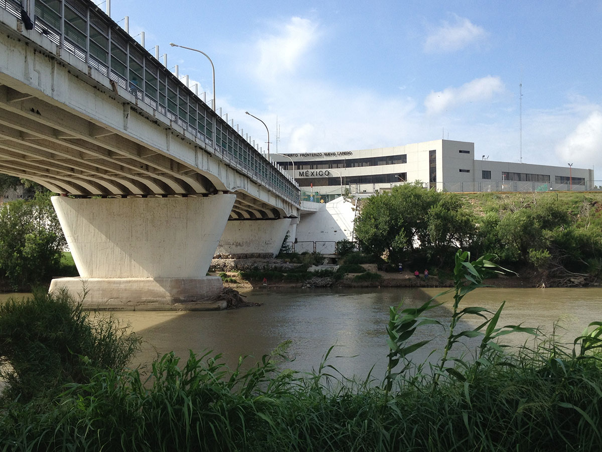
A view of Nuevo Laredo, Tamaulipas from Laredo, Texas. (Sergio Chapa/Borderzine.com)
Laredo Bridge #2 is primarily used by passenger buses headed into the Mexican interior, while cars and pedestrians use the neighboring Juarez-Lincoln International Bridge.
A running trail and park separate the Juarez-Lincoln Bridge from the Laredo Rail Bridge where endless train cars move goods across the border.
Just down the river are caliche trails dotted with discarded rafts, inner tubes and clothes from illegal immigrants passing through the area.
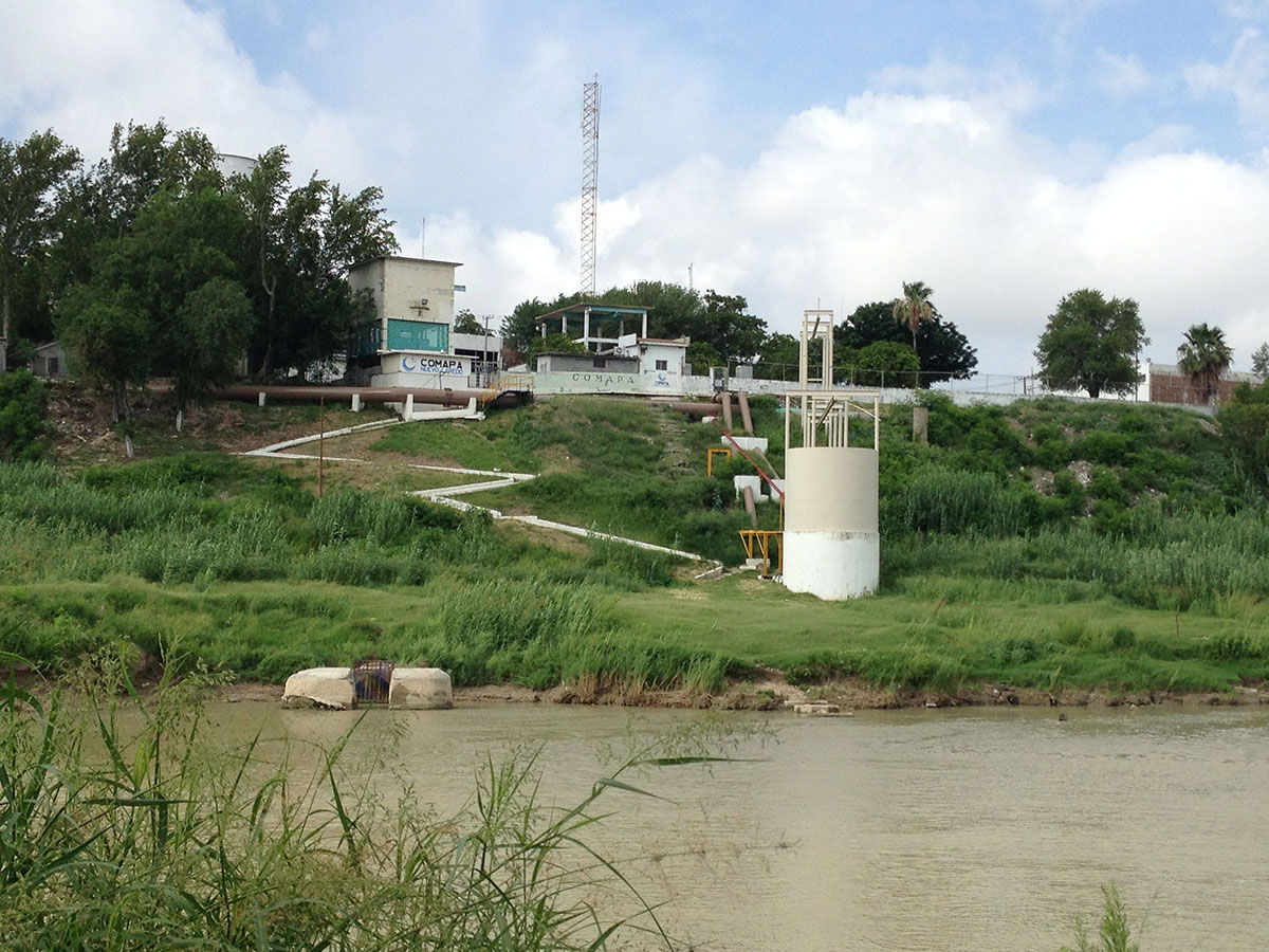
A water plant on the Mexican side is reminder of how polluted the water is in this part of the border.
Nuevo Laredo
Lupita and I took a trip across the border to Nuevo Laredo where the effects of Mexico’s drug war appeared to be very dramatic.
I have been traveling to Nuevo Laredo since my college days and I’ve seen it go through many changes.
It was a sinful city filled with alcohol, drugs and prostitution but many believe the city has since reaped what it sowed.

Downtown Nuevo Laredo, Tamaulipas is a ghost town compared to its former self. (Sergio Chapa/Borderzine.com)
Bars, nightclubs and restaurants once filled with boisterous Americans are now all closed. Numerous buildings in the downtown area are for rent.
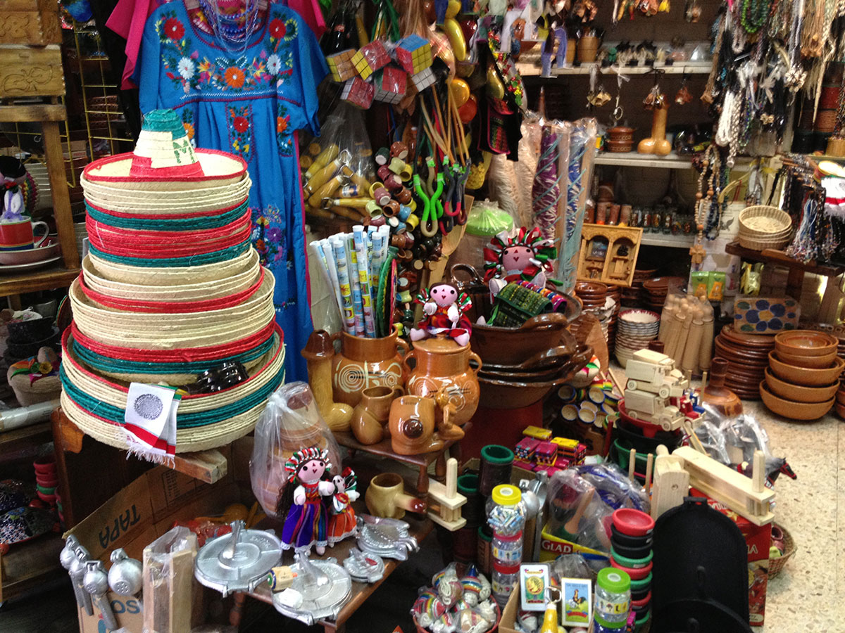
We saw dust gathering on souvenirs at shops that were once filled with American tourists.
The drug war started early in Nuevo Laredo, which has gone through several cycles of violence.
The first cycle started in 2002 followed by another one in 2005, which officially killed off tourism and forced many popular businesses to move north.
The split between the Gulf Cartel and Zetas tore the city apart again in 2010 followed by several more cycles of violence.
At least three people who reported on the violence on social media networks were killed and beheaded.
Today, the Sinaloa Cartel is trying to wrestle control of the city away from the Zetas.
Although there are still maquiladoras and big business, it was sad to see how much tourism in Nuevo Laredo had suffered.
Many Americans told us they still have family across the border in Mexico but don’t visit them as frequently.
Others said only cross to go to doctors or the dentist.
World Trade Bridge
Back in Laredo, Lupita and I took a trip across the railroad tracks to see Laredo Community College on the city’s west side.
The sun bleached school is located along the Rio Grande River where authorities built the border wall to stop illegal immigrants and drug smugglers from crossing through campus.
But it’s leaving the downtown area that one passes through aging shopping centers that are the home to many local businesses with bilingual names like “TacoN’Madre,” which is a play on words in Spanish for “tacos” and “it’s cool.”
There are many others unique finds in those shopping centers like souvenir shops and sushi restaurants that also serve Mexican food.
Although Laredo is a city built on commerce and logistics, driving in that area of town is a nightmare because the stoplights are not synchronized.
Drivers get red light after red light creating a “ciudad frenada” or “city of endless brake lights.”
But all the new development and shopping centers are located in the far north off the Bob Bullock Loop, named after the legendary former lieutenant governor of Texas.
The bustling shopping centers filled with chain stores and restaurants look like those in any other American city but provide a sharp contrast to the historic city center.

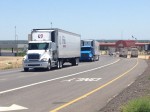
18-wheelers are more common than cars near the World Trade Bridge. (Sergio Chapa/Borderzine.com)
Grant money has built multi-lane highways and a salmon-colored palace that serves as a visitors’ center but there were no tourists other than us.
But it’s Bob Bullock Loop that took us to the World Trade Bridge.
Built primarily for 18-wheelers, it’s busy bridge where tractor-trailers outnumber cars.
We made our way through side roads to get to the administrative center and got to see the 18-wheelers coming and going from both sides of the border.
Colombia International Bridge
Webb County is unique in Texas because it borders three Mexican states: Tamaulipas, Nuevo Leon and Coahuila.
The bulk of the population lives along the Tamaulipas border between Laredo and Nuevo Laredo. But Lupita and I took a side trip to see the Solidarity-Colombia International Bridge.
A state toll road connects the bridge to Interstate 35.
We took a free highway that connects the World Trade Bridge to the Colombia Bridge. It was filled with warehouses and even some new neighborhoods.
Our tiny rental car had to weave between 18-wheelers as we headed north and then west.
Just when it seemed like we were in the middle of nowhere, we arrived at the bridge.
Built to connect the town of Colombia, Nuevo Leon to Texas, the bridge is an express conduit for 18-wheelers headed from the industrial city of Monterrey to the United States.
We just stood by and watched 18-wheelers headed to and from the bridge and came to the conclusion that the region will overcome the setbacks of the drug war.
-

- The World Trade Bridge in Laredo, Texas. (Sergio Chapa/Borderzine.com)

-

- The World Trade Bridge is used by 18-wheelers for cargo between Mexico and the United States. (Sergio Chapa/Borderzine.com)

-

- A tourist center with no tourists just outside Laredo, Texas. (Sergio Chapa/Borderzine.com)

-

- Recuerdos y artesanías acumulan polo en una tienda sin turistas en el centro de Nuevo Laredo, Tamauilpas. (Sergio Chapa/Borderzine.com)
-
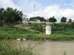
- A sewage plant along the Rio Grande River in Nuevo Laredo, Tamaulipas. (Sergio Chapa/Borderzine.com)
-

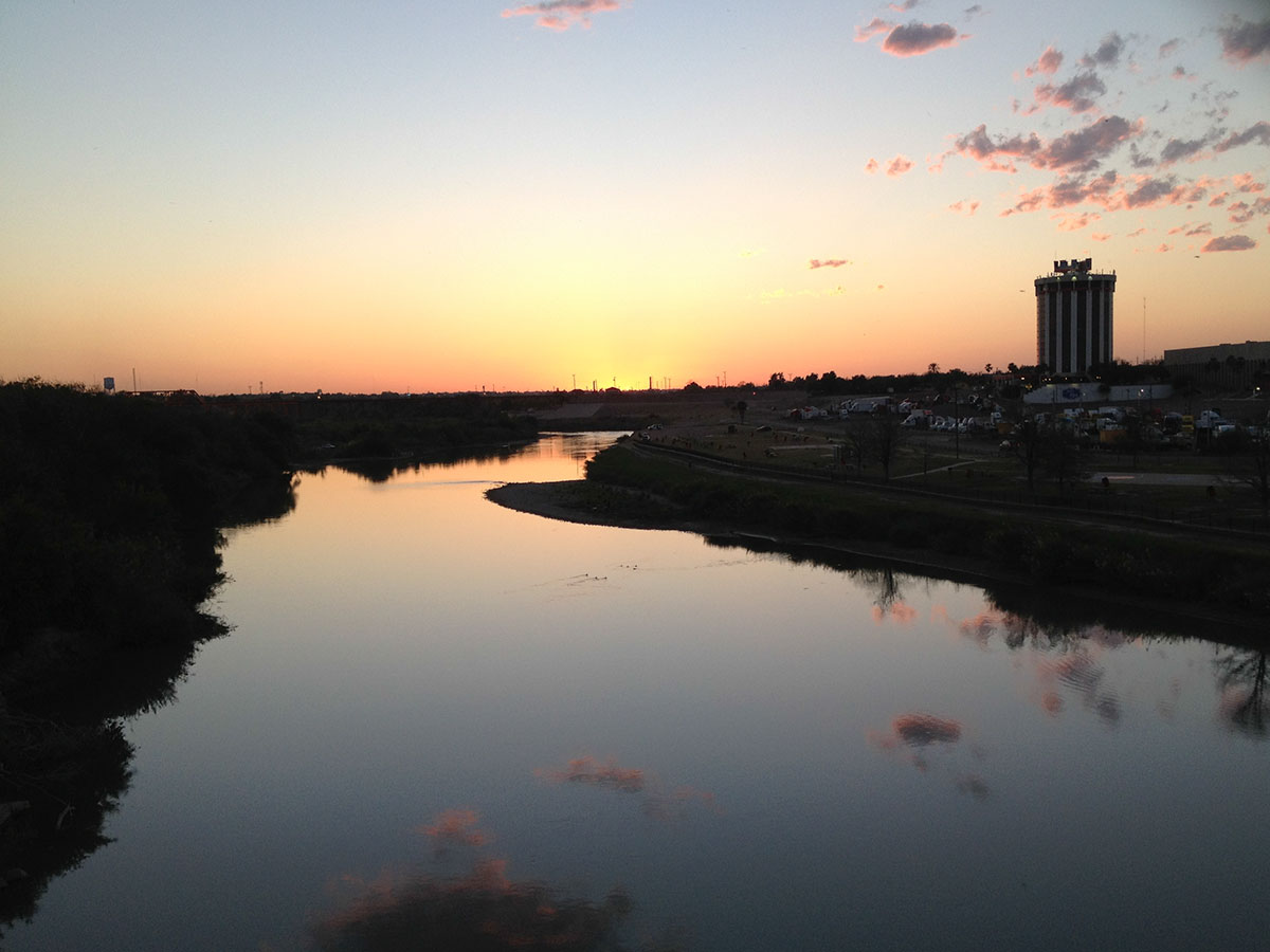
- Sunset along the Rio Grande River between Nuevo Laredo, Tamaulipas and Laredo, Texas. (Sergio Chapa/Borderzine.com)
-

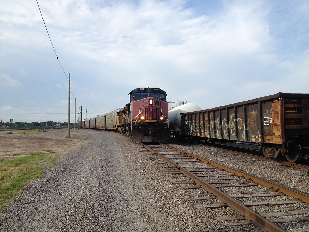
- The rail yard in downtown Laredo, Texas. (Sergio Chapa/Borderzine.com)
-
- A picnic area overlooking the Rio Grande River in northern Zapata County, Texas. (Sergio Chapa/Borderzine.com)
-
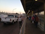
- Pedestrian bridge from Laredo, Texas to Nuevo Laredo, Tamaulipas. (Sergio Chapa/Borderzine.com)

-

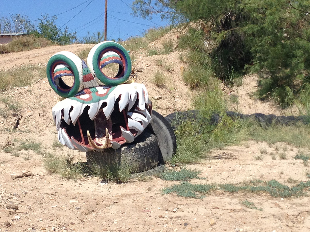
- A snake made of tires at a park along the Rio Grande River in El Cenizo, Texas. (Sergio Chapa/Borderzine.com)
-

- A view of Nuevo Laredo, Tamaulipas from Laredo, Texas. (Sergio Chapa/Borderzine.com)
-

- A luxurious hotel in downtown Laredo, Texas. (Sergio Chapa/Borderzine.com)

-
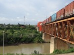
- El puente ferroviario international entre Nuevo Laredo, Tamaulipas y Laredo, Texas. (Sergio Chapa/Borderzine.com)
-

- El Cenizo, Texas holds its city council meetings in Spanish. (Sergio Chapa/Borderzine.com)
-
- Downtown Nuevo Laredo, Tamaulipas is a ghost town compared to its former self. (Sergio Chapa/Borderzine.com)
-

- Calles de el centro de Laredo, Texas. (Sergio Chapa/Borderzine.com)

-
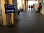
- Peatones y autos se dirigen desde Laredo, Texas a Nuevo Laredo, Tamaulipas. (Sergio Chapa/Borderzine.com)

-
- The Colombia-Solidatrity International Bridge is the only one between Texas and Nuevo Leon. (Sergio Chapa/Borderzine.com)

-
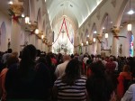
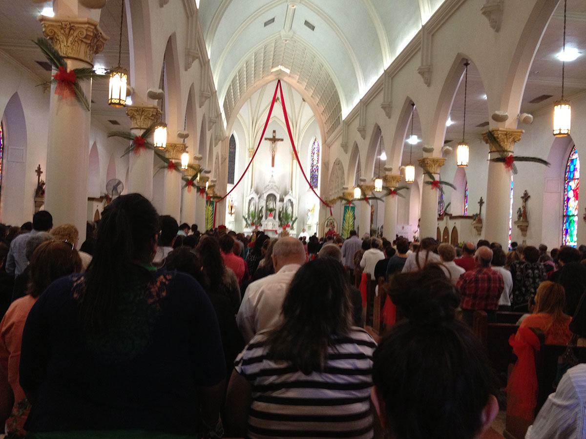
- A cathedral in downtown Laredo, Texas. (Sergio Chapa/Borderzine.com)
-

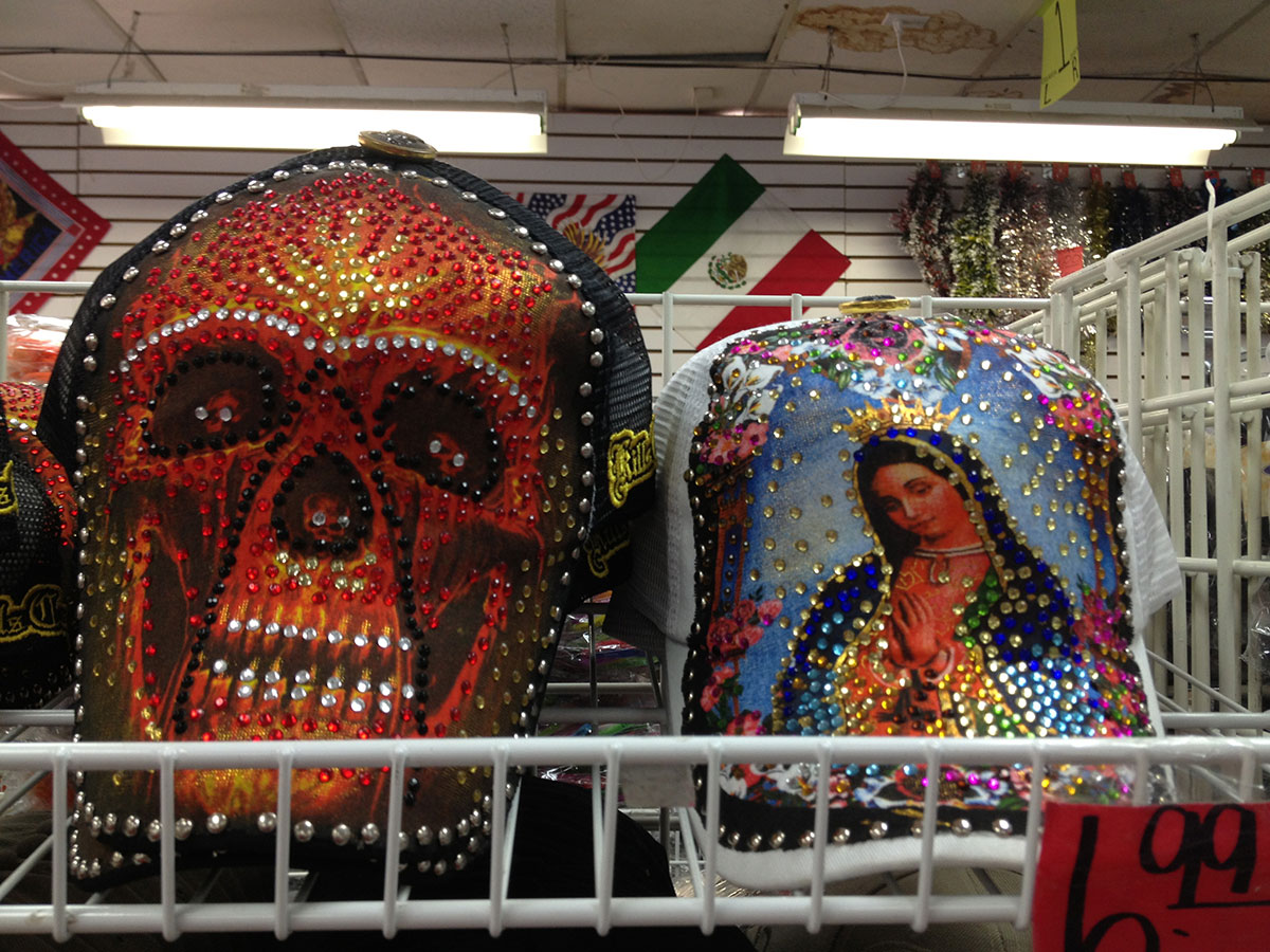
- Baseball cap of the Virgen de Guadalupe sold alongside one of a skull in downtown Laredo, Texas. (Sergio Chapa/Borderzine.com)
-

- 18-wheelers are more common than cars near the World Trade Bridge. (Sergio Chapa/Borderzine.com)